|
Simpson Desert/Red Centre
part one
30 June to 21 July 2007
by Ken McGuinness
Ever since the
2002 Simpson Desert trip I've wanted to do it again and take the
family to experience one of Australia's iconic outback journeys. Finally, we
decided the time was right in 2007 - actually Renee wasn't convinced that winter
in the desert was a good idea and the kids weren't convinced that they'd enjoy a
touring holiday with a group of strangers but we booked a tagalong trip with
Great Divide Tours anyway. And then spent six months getting
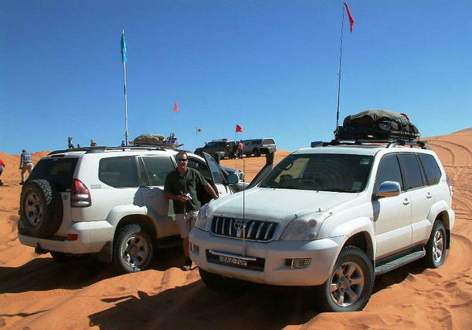
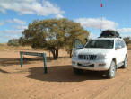
ready for the trip. That meant a new car, a suspension upgrade and some other
modifications, fitting the car out with drawers, water storage and batteries and
a new tent (the camper had to stay home for this trip). Then we were ready to
depart.

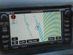
Click here to view a larger map in a new window.
Saturday 30 June –
Sunday 1 July
We had to be in
Broken Hill on Sunday night to meet the rest of the tagalong group.
Unfortunately, Lauren still had two more performances of the
Kirrawee Gang
Show on Saturday, so we decided that Mitchell and I would drive to Broken
Hill on Saturday/Sunday and Renee and Lauren would follow by plane on Sunday.
After leaving home
about 7am, we had an easy day's travel to Cobar in the central west arriving
around 5pm. Unable to get a motel room, we christened the new tent (a
Black Wolf Turbo Lite) at the local Caravan Park. It was a cold night and
getting up early the next morning to be in Broken Hill by lunchtime was a
challenge. Renee and Lauren beat us into Broken Hill by an hour or so and were
already booked into our cabin when we arrived. We spent the rest of the
afternoon getting fuel and last minute supplies and some final re-packing of the
car. Early evening we got together with the other members of the tagalong and
headed into town for dinner at the Musicians Club.
Monday 2 July
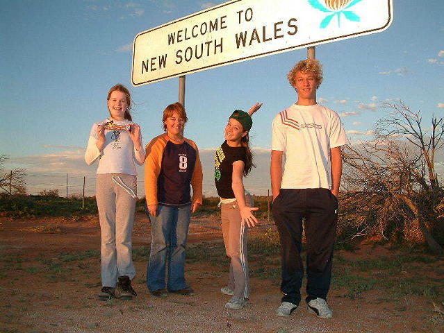
By 8.30am our convoy
of 9 vehicles had assembled outside the caravan park, facing north. We headed
out on the Silver City Highway not thinking that, in three weeks time, we'd be
passing this way again on our way home. The bitumen soon gave way to a good dirt
road cutting across wide open plains carpeted with green in stark contrast to
the barren brown I remember from the last visit. We stopped for morning tea at
Packsaddle - a roadhouse serving the surrounding properties and the tourist
traffic - about 130km north of Broken Hill.
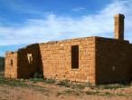
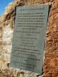
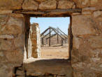
Further north, we stopped at Milparinka
for lunch and an opportunity to briefly explore the ruins of this old outpost.
The remnants of the old courthouse, jail and other community buildings sit atop
a small hill overlooking barren, stony fields. At Tibooburra on the edge of the
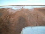
Sturt National Park we had our first change of itinerary. Recent rains had cut
the road north to Olive Downs and Toona Gate on the NSW/Qld border and meant we
had to take an alternate route heading north-west directly to Cameron Corner.
Even this road was cut in one spot by a large, normally dry, lake and required a
detour of several kilometres.
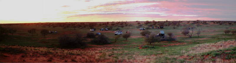
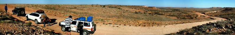
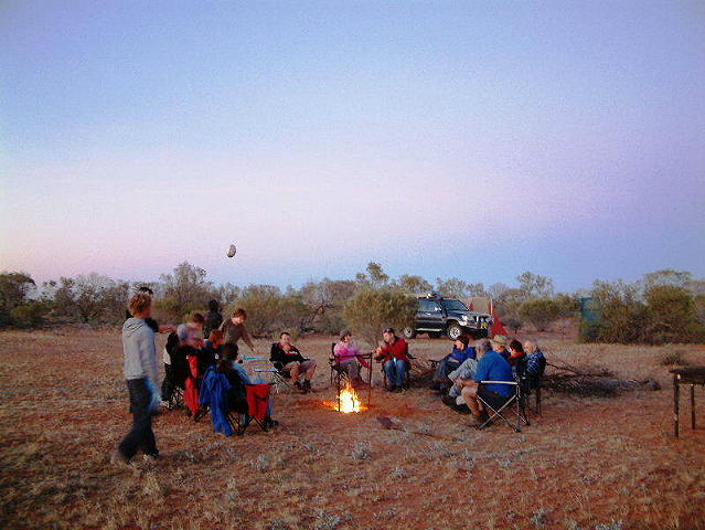
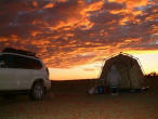
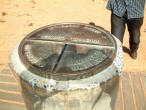
By late afternoon, we reached Cameron
Corner, junction of the NSW, Qld and SA borders marked by a corner post and the
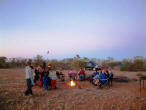
Dog Fence. For our first bush camp, the group spread out in a valley behind the
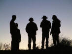
Corner Store not too close to other groups camped nearby. As the sun set, a
chill invaded the night and soon everyone was gathered around the campfire to
reflect on the day's travel and contemplate tomorrow's journey.

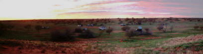
Tuesday 3 July
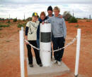
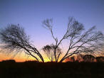
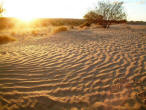
Next morning we were treated to a
stunning sunrise - which made getting up at 6.30am (to be on the road by 8.30)
seem almost worthwhile. After photos at the corner post - who can resist being
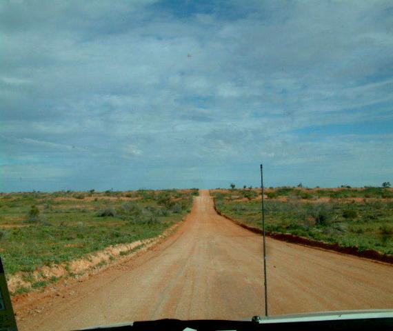
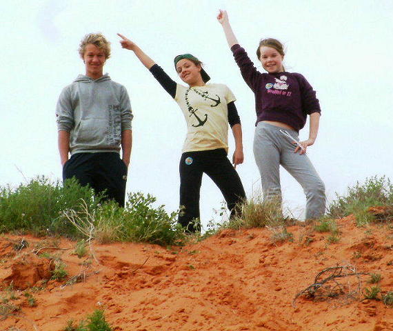
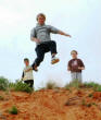
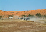
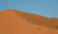
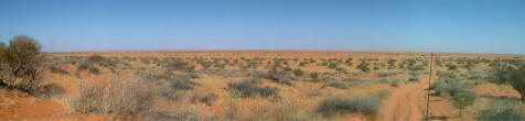
in 3 states at once - we headed west into the Strzelecki Desert. This route
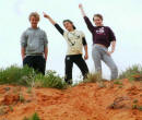
offers a great roller-coaster ride up and down small hills although care is
needed on the crests. We had morning tea at the base of a dune where the kids
spent some energy running up and jumping down before turning north along the
Strzelecki Track and passing through the Moomba oil and gas fields.
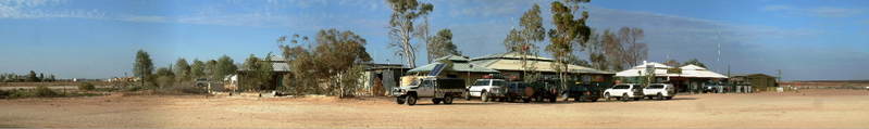
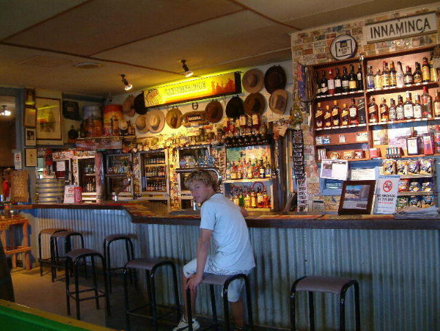
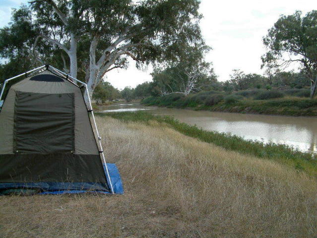
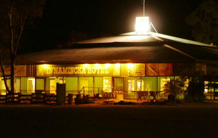
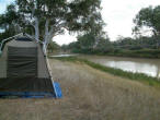
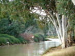
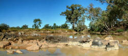
We reached Innamincka in time for a late
lunch and set up camp on the Town Common, a network of campsites situated along
the slow flowing Cooper Creek. We spent the afternoon exploring the small
township before returning to camp for sunset drinks and dinner.

Wednesday 4 July
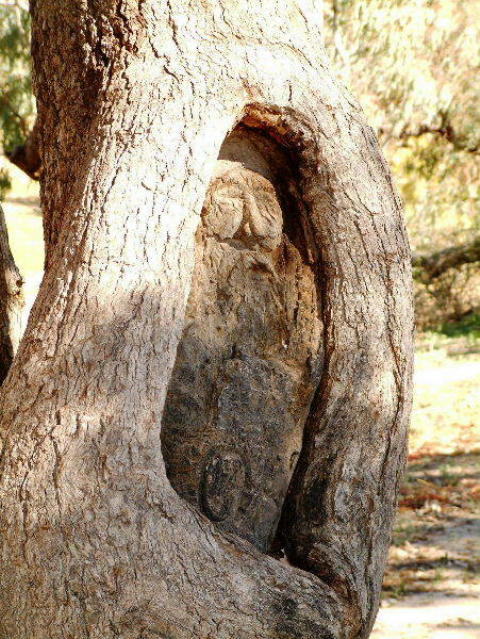
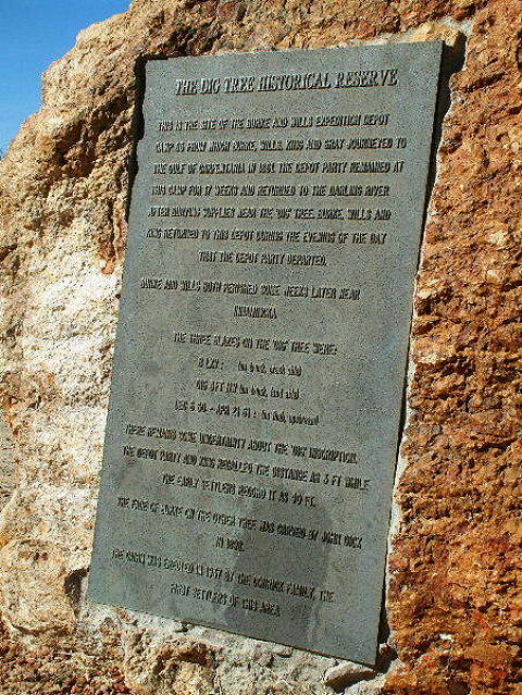
The morning saw us heading east out of Innamincka towards the Queensland border. We visited Burke's grave on the banks
of the Cooper Creek and, further on, the ill-fated Dig Tree at Burke and Wills
base camp on their exploration of a route to the Gulf of Carpentaria. After
lunch, we turned north travelling through Nappa Merrie and Arrabury stations on
the Queensland side of the border.
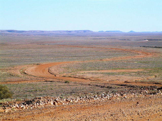
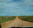
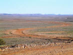
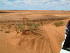
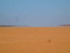
Here, the road cuts across vast stony
plains circled by 'jump ups': flat-topped rocky outcrops. Despite recent rains
and floods in the area there is little vegetation save lines of hardy trees that
mark the intermittent water courses. Late afternoon, the stony terrain gives way
to sand and a somewhat more vegetated landscape. Our tagalong leader scouts
ahead to find a campsite off the road while two vehicles attend to punctured tyres.
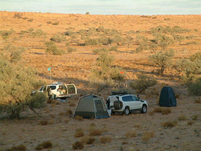
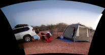
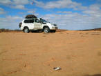
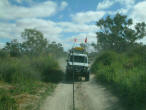
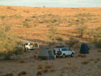
Home for the night is a clearing in
amongst low trees well off the track. Our tents are set up around the perimeter
with a central campfire set while the sun disappears over the horizon.

Thursday 5 July
On the road again
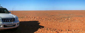
around 8.30am, we continued north paralleling the border before turning west and
crossing back into South Australia and then heading north again on the Cordillo
Downs road. We are back on harsh stony ground crossing unforgiving gibber
plains, in the distance red dunes tumble down to meet hard-packed rock. Cordillo
Downs station now covers around 7800 square kilometres and runs some 7000
cattle. The heritage listed woolshed is a reminder of its time as a sheep
station. It was constructed in 1883 of local sandstone rubble. The corrugated
iron roof was designed to be self supporting given the lack of any natural
timber in the region.
Further on, we stopped to look around
the ruins of Cadelga Homestead, an outpost on the Cordillo Downs property. By
lunchtime, we've reached the junction with the Birdsville Development Road and
are heading west toward's Australia's most famous outback town.
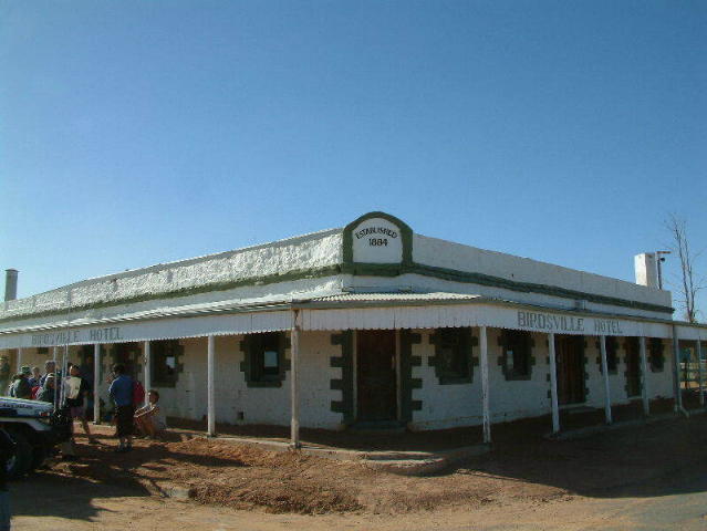
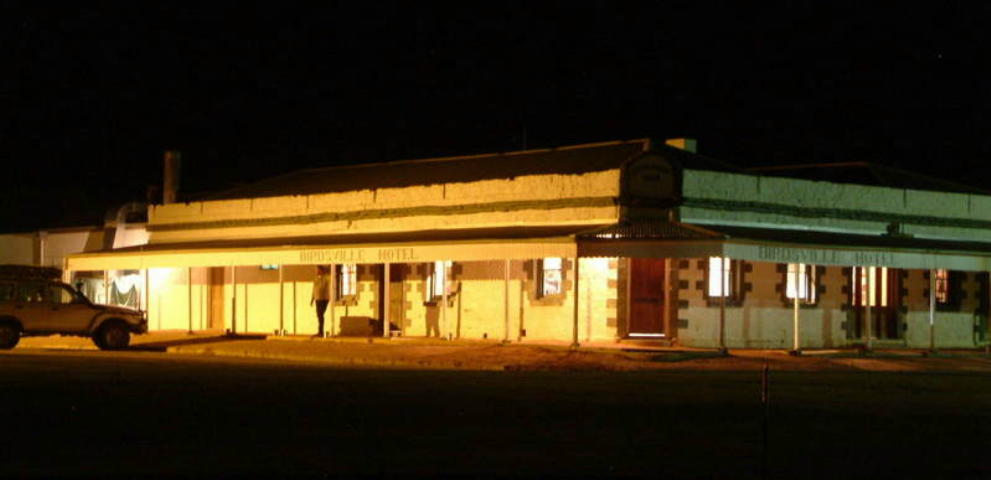
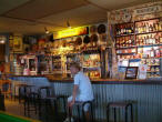
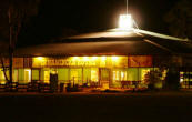
After a roadside lunchstop we reach
Birdsville early afternoon and check into our accommodation at the iconic
Birdsville Pub. There's time to refuel and restock before gathering at the pub
for dinner.

Friday 6 July
There was time this
morning for a visit to the Birdsville Working Museum - a fascinating collection
of memorabilia, paraphernalia and assorted machinery, artifacts, and much more
from Australia's pioneering days. The owner provides a 45 minute tour of the
highlights of his collection, including working demonstrations of many items.
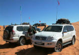
Next we head west out of Birdsville and
into the Simpson Desert for the start of the serious part of our trip. First
stop is Big Red, the largest of the Simpson Desert sand dunes (at around 40
metres) and the notional start or end of any Simpson Desert crossing. The
prevailing westerly winds generally mean that the eastern approach to dunes is
steep with an easier gradient on the western slopes. Big Red is the opposite
and, after lowering tyre pressures, the convoy cruises up the eastern face of
Big Red for group photos at the top of the dune. The first challenge is
descending the much steeper western face and then, at the urging of the kids,
going back over from the west.
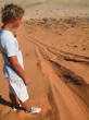
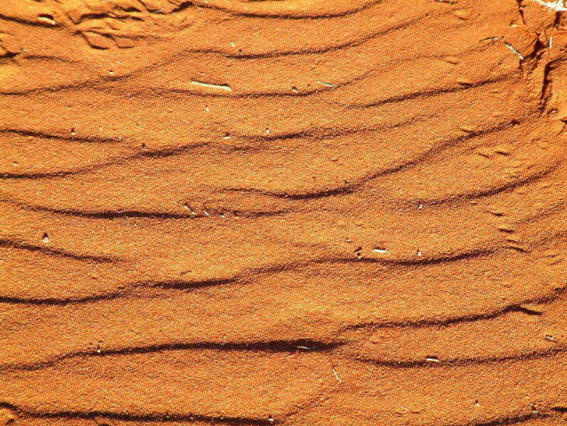
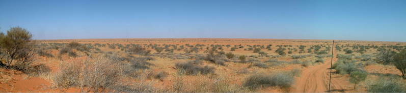
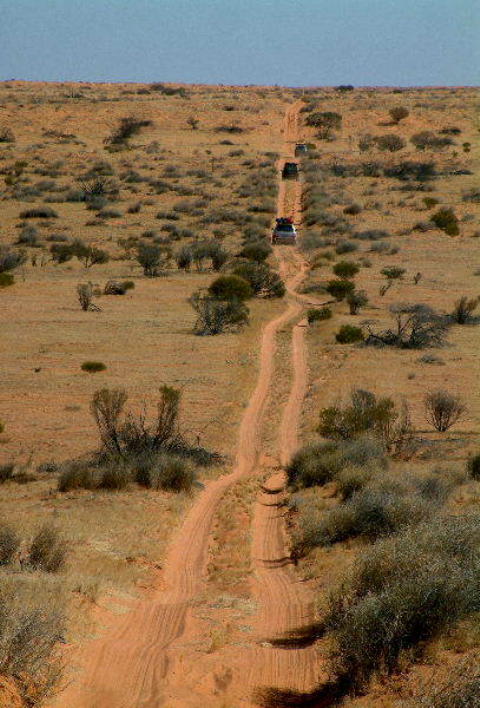
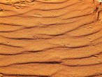
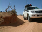
The next few hours
are spent getting used to desert driving - up, over and down the first of 1100
dunes to be crossed - and marvelling at the frequent changes in scenery. We
climb up soft red sand following the tracks of the vehcle in front and flanked
by low shrubs and spinifex clumps to the top of the dune. Looking north and
south along the knife-edge peak before rolling down the other side. The valley
floors are more often grey sand with a surprising amount and variety of
vegetation - much greener than the trip in 2002.
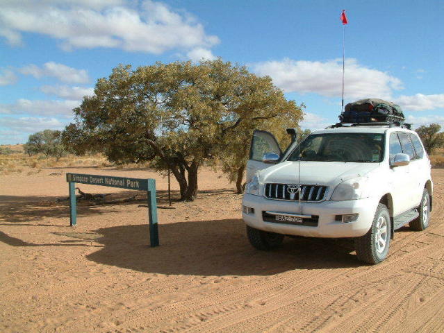
Before reaching the
border of the Simpson Desert National Park, there's a detour of several kilometres to skirt around a large delta still flooded from rains in recent
months. A few hundred metres into the park, we turn off the track to make our
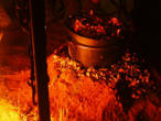
first desert camp in between sand hills and then gather for sunset drinks atop
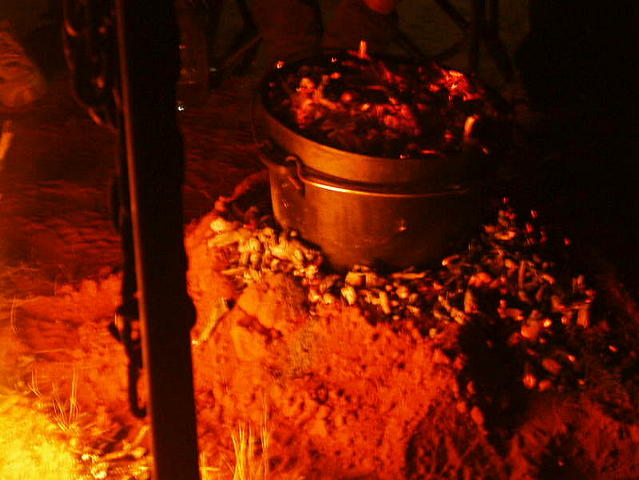
the adjacent dune. And for dinner: roast chicken and veges cooked in the camp
oven in the coals of the campfire - yum!

Saturday 7 July
All of the kids slept
out under the stars last night and seemed to survive - although night time
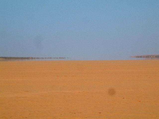
temperatures are now getting down below zero! We continue west on the QAA Line,
up and over endless dunes before crossing into NT and then turning south
crossing the mostly dry Lake Poeppel.
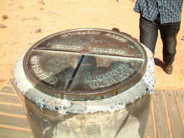
We lunch at Poeppel Corner, the border
post where Queensland, South Australia and Northern Territory meet before
turning west again on the French Line. Travelling is slow with quite a lot of
traffic sharing the route and the lead car negotiating with oncoming convoys to
pass.
We camp tonight at
Lindsay Junction just before the turnoff to the Knolls Track. After dinner, we
bake apples stuffed with sultanas in the fire , served with custard - yum!
Sunday 8 July
Most of the kids
slept out again last night. When I got up at 6.30am, they had ice on them! They
decide not to sleep out again - the temperature got down to almost -5C and there
were fresh dingo tracks around the campsite.
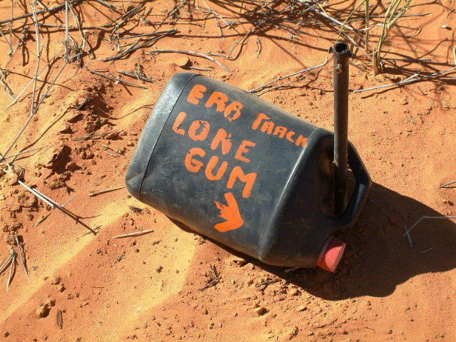
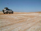
Leaving camp we turn
south down the Knolls Track and soon stop at Approdinna Attora Knolls - large
gypsum-capped limestone outcrops which offer a magnificent view of the salt
crust of the dry Lake Tamblyn and the dunes beyond. Running between the dunes
and with much less traffic, its a quicker run down this track to the junction
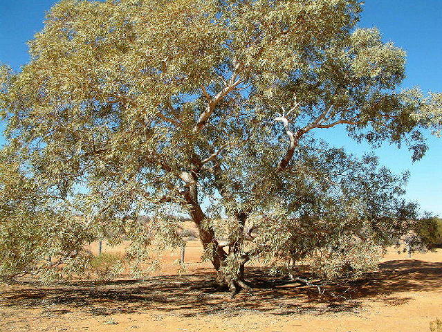
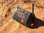
with the WAA Line. Here, we again turn west traversing scores more dunes before
turning south on Erabena Track to our lunch stop at the Lone Gum Tree.
After lunch, we
retrace our route back to the WAA Line and continue west, over more dunes before
finding another great campsite in the swale of the dunes. Another sunset drink,
campfire, camp oven damper, under a bazillion stars - you could get used to
this!


|